The Tram Road and bridge over the Ribble were constructed at the start of the 19th century, opening in 1803, to link the northern and southern sections of the Lancaster Canal. In 1772 Lancaster businessmen pushed for a canal to enable coal to be brought north from the coalfields around Wigan and limestone to be taken south from quarries in the Kendal area. There were 2 major obstacles, the Lune at Lancaster and the Ribble at Preston. An aqueduct was constructed over the Lune at a cost of £48,000. The Ribble however was quite a different matter; the estimated cost was £180,000 (much more because of the width of the valley, the locks needed to drop down from Preston (150 ft) and then to get back up to Walton Summit, 220 ft) and far too much to contemplate. So a temporary solution had to be found. Thus was born the Tram Road, linking the basin in Preston with the northern end of the southern section of the canal at the Walton Summit basin. At each basin goods were unloaded or loaded between barges and trucks running on L shaped rails, the trucks being drawn by horses. Initially steam engines were used to draw the laden trucks up the inclines, the steepest being that up from the Ribble to Avenham Park; but there were some serious accidents when trucks came adrift from the chains hauling them, and so the track was re-engineered to reduce the inclines and abandon the steam engines.
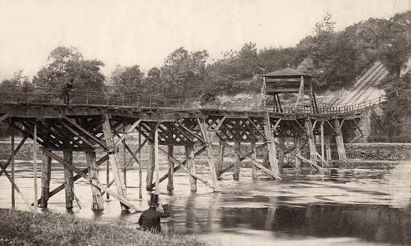
Steve took us from north to south along the line of the Tram Road to Walton Summit (and beyond). He displayed old maps and photographs, and had made digital copies of slides taken by Winifred Gibbs in the 1960’s before the M61 was built (obtained from the county archives) and compared those with his own photographs taken in the last 5 years. The wooden supports for the original bridge across the Ribble had been replaced with concrete ones in the 1960’s; but regrettably those have also now deteriorated and the bridge is closed.
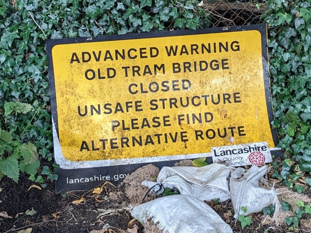
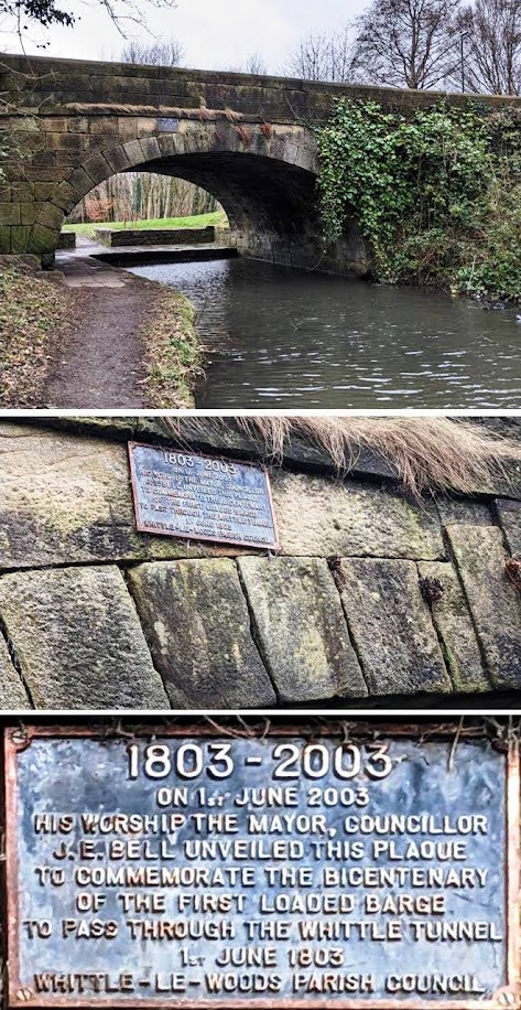
It remains to be seen if Preston Council will repair it. The route of the Tram Road can still be traced despite parts having been obliterated by development, not least the M61 and M65 and the industrial buildings at Walton Summit (one member recalling people fishing in the basin at Walton Summit); and original features could still be seen at various points (e.g. the tunnel into the Fishergate car park). Steve went on beyond Walton Summit to Radburn Brow, Whittle-le-Woods, and Johnson’s Hillock, amongst other things showing us the basin for the coal yards at Radburn Brow, the Whittle tunnels (and the plaque in 2003 recording it having been 200 years since the first barge went through).
We were given far too much information to be able to begin to scratch the surface here in this brief report. It was an excellent talk. Thank you, Steve; and thanks to all those present who contributed their own youthful recollections.
Leave a Reply